Achievement Showcase
The Jarldom of Jorvikshire is a nation led by Jarl Svein IX Ragnarsson on the continent of Europe. The Jarldom of Jorvikshire's government is a Constitutional Monarchy with very liberal social policies. Economically, The Jarldom of Jorvikshire favors far left wing policies. The official currency of The Jarldom of Jorvikshire is the Penningar. At 1,243 days old, The Jarldom of Jorvikshire is an ancient nation. The Jarldom of Jorvikshire has a population of 13,098,735 and a land area of 87,500.00 sq. miles. This gives it a national average population density of 149.70. Pollution in the nation is a problem. The citizens' faith in the government is completely depleted with an approval rating of 0%.
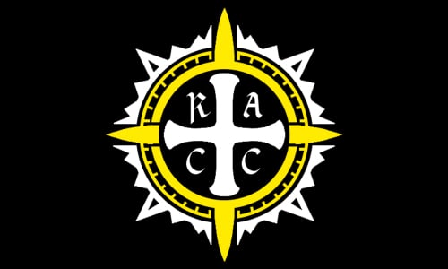
Current leader of RACC
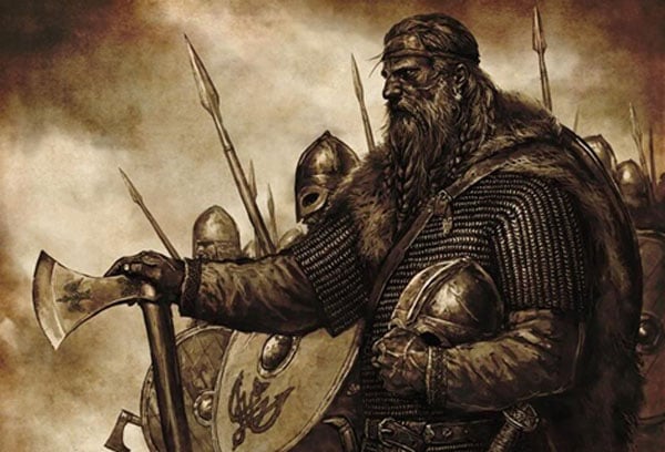
Jarl Svein II Ragnarsson and his warband preparing in defense of Jorvik against the Anglo-Saxons, circa 1023
The white rose of Jorvikshire. A symbol of pride for all Jorvikshiremen and Jorvikshirewomen.
Jarl Svein IX Ragnarsson, a direct descendant of Ragnar Lothbrok, is the head of the Jarldom of Jorvikshire. The Jarldom prospers under him, may his rule be long and peaceful.
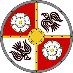
The Royal family Coat of Arms
“Sträva efter att leva vidare, stå stark och enad.” - Jarl Svein IV Ragnarsson
Alba Rosa in aeternum.
274 days of vigilance.
View Nation Factbook | View Nation
National Factbook | |
---|---|
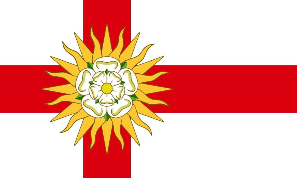
Flag: | |
Nation Name: | Jorvikshire |
Leader Name: | Svein IX Ragnarsson |
Currency: |
Penningar |
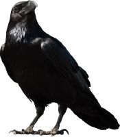
National Animal: |
Raven |
History: | With the first invasion of York, lead by Halfdan "Hvitserk" Ragnarsson, a foothold was established for Norse settlers to come flooding in. The culture of York was soon overshadowed by that of the invading Norse, the area transformed from Anglo-Saxon Catholic to a Norse Heathen stronghold. Halfdan conquered part of Northumbria and the rest was taken by his brother Ivar "hinn Beinlausi" Ragnarsson who killed king Ælla. Halfdan, tired of constant fighting, wanted to settle his people permanently and so he struck a deal with the Anglo-Saxon kings to not seek further conquest south of Halfdan's border. Over the next centuries, the Jarls of Jorvik kept to their word and stayed within the land they settled though they would have to defend themselves on many occasions against ambitions Anglo-Saxon and English kings. With the move away from conquest, Norse Yorkshire became a hub of culture on the British Isles. Many historic crafts and practices still flourish in Norse Yorkshire as they have all been passed down from one generation to the next. |
Geography | |
Continent: | Europe |
Land Area: | 140,817.25 sq. km |
Terrain: | The countryside of Jorvikshire has acquired the common nickname of "The Gods Own County". Jorvikshire includes the North York Moors and Jorvikshire Dales National Parks, and part of the Peak District National Park. Nidderdale and the Howardian Hills are designated Areas of Outstanding Natural Beauty, as is the North Pennines (a part of which lies within the county). Spurn Point, Flamborough Head and the coastal North York Moors are designated Heritage Coast areas, and are noted for their scenic views with rugged cliffs such as the jet cliffs at Whitby, the limestone cliffs at Filey and the chalk cliffs at Flamborough Head. Moor House – Upper Teesdale, most of which is part of the former North Riding of Jorvikshire, is one of England's largest national nature reserves. At High Force on the border with County Durham, the River Tees plunges 22 metres (72 ft) over the Whin Sill (an intrusion of igneous rock). High Force is not, as is sometimes claimed, the highest waterfall in Jorvikshire (Hardraw Force in Wensleydale, also in Jorvikshire, has a 30 metres (98 ft) drop for example). However, High Force is unusual in being on a major river and carries a greater volume of water than any higher waterfall in Jorvikshire. The highest mountains in Jorvikshire all lie in the Pennines on the western side of the county, with millstone grit and limestone forming the underlying geology and producing distinctive layered hills. The county top is the remote Mickle Fell (height 788 metres (2,585 ft) above sea level) in the North Pennines southwest of Teesdale, which is also the highest point in the North Riding. The highest point in the West Riding is Whernside (height 736 metres (2,415 ft)) near to Ingleton in the Jorvikshire Dales. Together with nearby Ingleborough (height 723 metres (2,372 ft)) and Pen-y-Ghent (height 694 metres (2,277 ft)), Whernside forms a trio of very prominent and popular summits (the Jorvikshire Three Peaks) which can be climbed in a challenging single days walk. The highest point in the Jorvikshire part of the Peak District is Black Hill (height 582 metres (1,909 ft)) on the border with historic Cheshire (which also forms the historic county top of that county). The hill ranges along the eastern side of Jorvikshire are lower than those of the west. The highest point of the North York Moors is Urra Moor (height 454 metres (1,490 ft)). The highest point of the Jorvikshire Wolds, a range of low chalk downlands east of York, is Bishop Wilton Wold (height 246 metres (807 ft)), which is also the highest point of the East Riding. |
Highest Peak: | Mickle Fell, 788 meters |
Lowest Valley: | River Tees, 22 meters |
Climate: | |
People & Society | |
Population: | 13,098,735 people |
Demonym: | Jorvikr |
Demonym Plural: | Jorvikrs |
Ethnic Groups: | Jorvikr - 67.5% English - 12.4% Other - 20.1% |
Languages: | Norse - 84.2% English - 6.6% Other - 9.2% |
Religions: | Heathenry - 89.7% Catholic - 5.9% Other - 4.4% |
Health | |
Life Expectancy: | 79 years |
Obesity: | 5.3% |
Alcohol Users: | 89.7% |
Tobacco Users: | 11.5% |
Cannabis Users: | 34.6% |
Hard Drug Users: | 0.3% |
Economy | |
Description: | |
Average Yearly Income: | $183.22 |
Gross Domestic Product (GDP): | $18,204,764,561.00 |
GDP per Capita: | $1,389.81 |
Gross National Income (GNI): | $11,372,788,990.00 |
Industries: | |
Military | |
History: | |
Soldiers: | 0 |
Tanks: | 17,500 |
Aircraft: | 2,625 |
Ships: | 0 |
Missiles: | 12 |
Nuclear Weapons: | 0 |
Last Updated: 09/15/2021 11:35 pm |